Stuc a' Chroin and Ben Vorich

Stuc a' Chroin and Ben Vorich

Monday, 17 February 2014

Some snow and sun at last


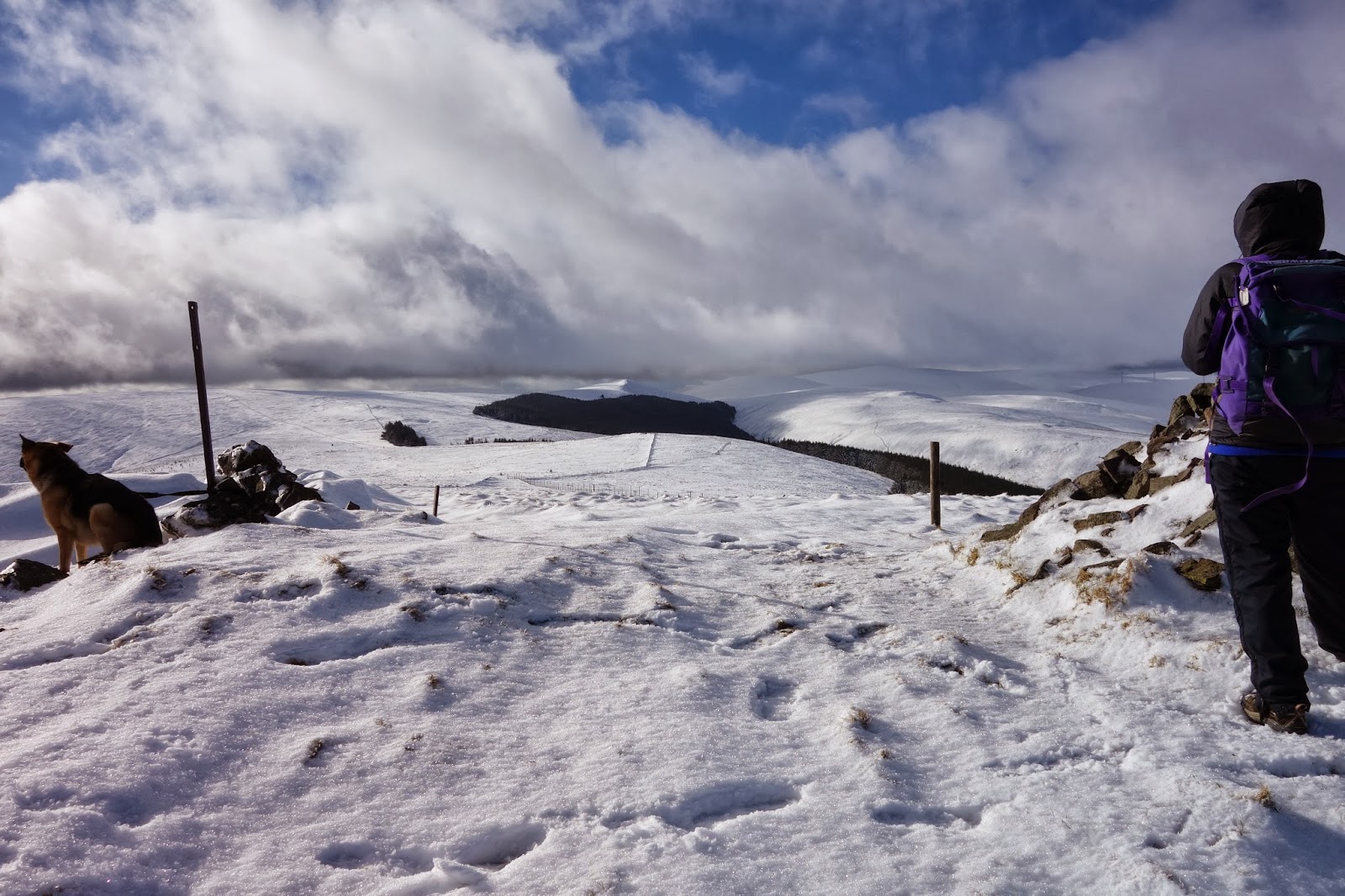
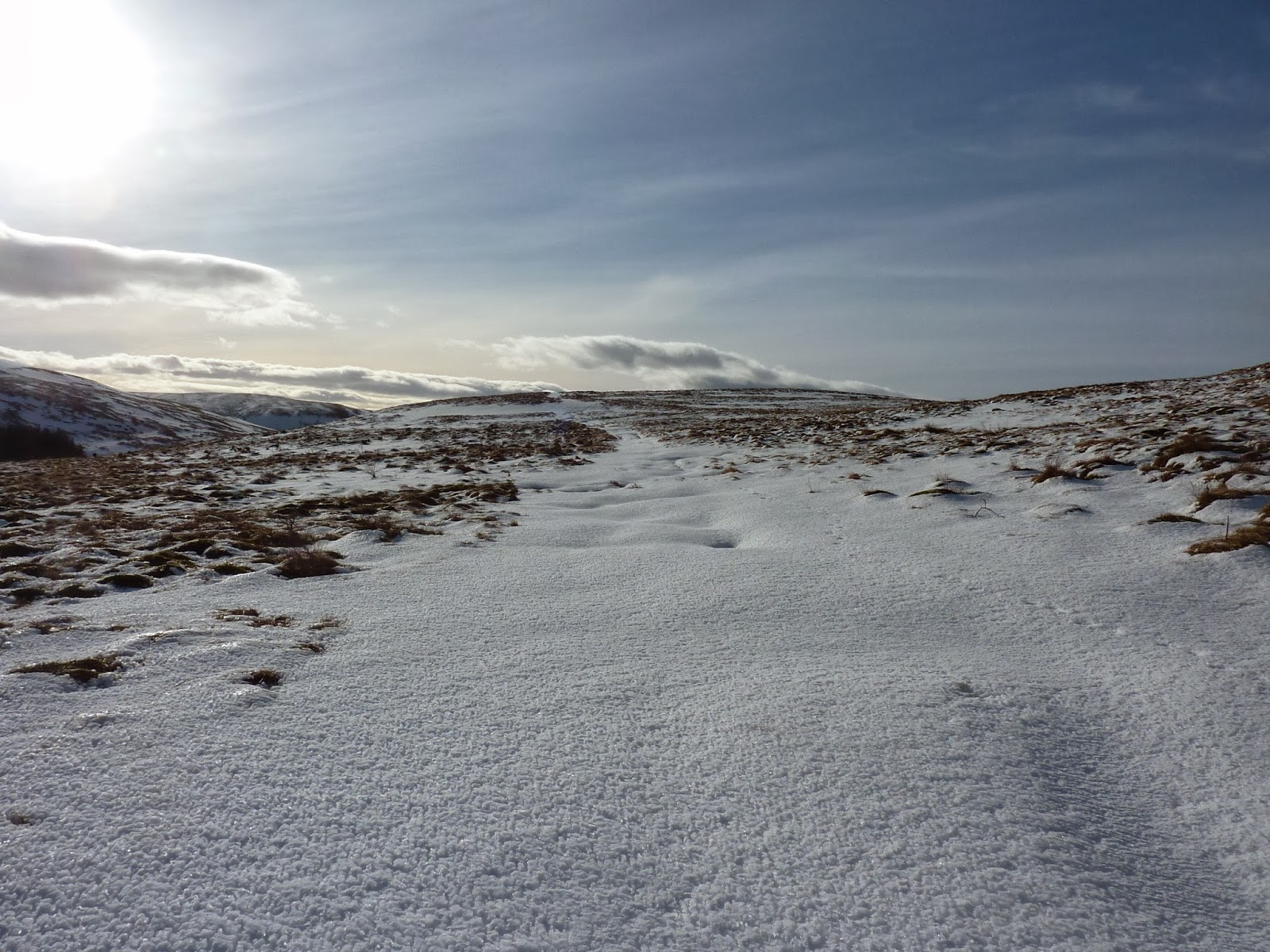
It doesn't look like it from the photographs but the going was quite hard, particularly higher up. Skis would have been the best means of travel today but I wasn't prepared to risk using them, just in case my knee objected. A couple of walkers sat by the wall enjoying the sun, another photographed the scene to the north but otherwise few people were out on this fine day.


On the top it was definitely Scottish winter weather with a seriously strong cold wind so we rushed off to bag the best spot at the shelter for some nourishment. The two walkers we'd met earlier peered down as they passed and gave us a cheery 'hello'. Most who walk these hills are friendly folk, which can't always be said of those who go to the hills these days. Grim-faced and serious, one wonders why they come.


Two others and a German Shepherd headed across Bentie Knowe only to bail out half-way to seek the calm of lower ground probably.


As dark clouds gathered to the west over Ben Cleuch we also decided to have a leisurely descent in the sun, happy that we'd had the best of the day.


Sunday, 9 February 2014

20 January 2014 - nearly more than a pheasant shot


A few years ago we got caught up in a fox shoot here and felt as though we were in a war zone. Not that any shots were fired but periodically we'd be surprised by a shooter, camouflaged head to toe, leaning against a tree, shotgun or high powered rifle with telescopic sights in hand. As we passed each of them radioed ahead to warn of our presence which, while reassuring, added a military feel to the whole thing.

Today (20 January) it was a pheasant shoot and those involved seemed blissfully unaware that we were walking the drove road and about to pass very close. Too close. Eventually a shout went up -  'walkers'. Some heard, some didn't, and as two pheasants flew straight towards me (and not that high above me) an idiot took a shot; one of the birds dropped behind a wall a few yards away. Why oh why did they not have warning notices? Why not suspend firing for the few minutes it took for us to clear the area? If we hear guns in this area again we'll be staying high.

View east from the drove road

Saturday, 8 February 2014

Will it, won't it


The weather was supposedly improving throughout the morning and despite the gloom persisting for longer than predicted, we were hopeful that things would pick up eventually.

By way of a change we had driven to the Castle Campbell car park above Dollar, our first objective being King's Seat Hill. After that plans were flexible.


The first and very beautiful part of this walk through the wooded gorge beside and above the Burn of Sorrow soon led to open ground and signs of some blue, but..


 shortly after Bank Hill it was all change as cloud enveloped us once more.


Then, almost as quickly


In the relative warmth of the emerging sunshine we stopped at the small memorial beside the path.

Photo August 2010
On 12 September 2009 this memorial cairn with plaque was built on the lower slopes of King's Seat Hill near the place where in 1943 three Spitfires, operating out of Grangemouth on a formation training flight, crashed. Two pilots, aged 20, were killed and a third badly injured. Barely alive, Sgt Vincent Daly was found crawling in the snow by a shepherd twenty four hours later and taken to Larbert Hospital. He survived the war.

The memorial was built by members of the 383 (Alloa) cadets ATC and the Ochils Mountain Rescue Team. Its unveiling was accompanied by a fly past from the Battle of Britain Memorial Flight.


The false summit. The highest point lies NW of here

Two runners were met just after leaving the cairn but these were the only others encountered all day.

The SW slopes of Whitewisp falling to the Burn of Sorrow

The descent to the the Burn of Sorrow below Maddy Moss and Tarmangie Hill was over large patches of hard snow or frozen tussocks, both preferable to the icey path. Lunch.

Our return by way of Whitewisp and Saddle Hill was delayed by finding a sheltered spot in the sun overlooking Castle Campbell where we finished off Lynne's excellent ginger bread.(More please).

Castle Campbell and Dollar


Tuesday, 4 February 2014

Lomonds

This confident little soul came right over to the car as we were putting on our boots. He got some home-made ginger bread


Heading to East Lomond Hill

Being two posts behind I've decided to add this now - maybe updated at home later.

Anyway we are on East Lomond in reasonable weather and heading for West Lomond in a few mins.

Largo Law stands out clear to the east while to the north and west all is dark.

The two Lomond Hiills are easily visible from Glas Maol etc but today the opposite is not the case.


Sent from my BlackBerry®

Wednesday, 29 January 2014

In the Quiet Places - Richard Bernard


I'm grateful to Oldmortality for introducing me to the writings of the late Richard Bernard - see comment here

I've  just received this book so have only dipped into it but I know I'm going to enjoy his gentle writing, aptly matched to the gentleness of the hills he clearly loved so much.

According to the Foreward, this is the fifth selection of Richard's articles on the 'local natural world', the Ochils, in which he 'records his delight at attempts to preserve it and his despair at his fellow man's unthinking destruction of his environment'. He could probably never have imagined the assault now being visited upon these hills.

A quiet place - pre-turbine days (Lynne's photograph)


Thursday, 23 January 2014

Rhodders Wind farm


In July last year we received a letter informing us that Clackmannan Council had rejected Wind Prospect's application to build Rhodders Wind Farm on the basis that it was contrary to almost every part of the county's Structue Plan.  Here are just three of the reasons for rejection:

1. The proposed development (even in amended form) is contrary to the Stirling and      Clackmannanshire Structure Plan 2002 and 2004 and the Local Plan 2004.

2. It is contrary to the Structure Plan ENV2.2 in that it cannot be accommodated satisfactorily without adversely affecting the overall quality of the Ochil Hills Area of Great Landscape Value to a material degree.

3. The proposed development is contrary to Structure Plan Policy ENV3 which provides that in areas of Countryside development will be permitted only where the proposed activity is dependent upon  a countryside location and that in terms of function, siting and design, it is suitable for its particular location and should respect and preserve features contributing to local character. The proposed development introduces a further range of large man-made structures into the countryside to the significant detriment of the landscape adversely impacting upon the visual amenity of this countryside Area of Great Landscape Value and thus fails to respect and preserve the local character of this countryside area.

Today another letter arrived informing us - surprise, surprise - that this had been overturned by the Scottish Government. The assault on the Ochils, as eleswhere, continues. (The map shows nine turbines but the amended application was for six.)

The Frandy Moss application is still being considered but there are no prizes for guessing how that will go.


Thursday 16 January - Cloudy Ochils


The weather looked better to the east so we really should have gone to the Lomonds. But here we were pulling on boots at the little car park on the road to Frandy Farm. We are nothing if not creatures of habit.

Some years ago this narrow road suffered the ignominy of being widened at various points to facilitate the transportation of wind turbines to Burnfoot. The wider bits now provide parking spots further up the glen but we stick to tradition and park where we have always done. Creatures of habit indeed.

The plan for the day was vague. It didn't really deserve the term 'plan' at all, but Cairnmorris Hill, Skythorn and Frandy Hill were all mentioned for inclusion.

It looked as though we were set for a reasonable day
After crossing the Frandy Burn we entered Woodland Trust land and although from the map it looks like trees dominate the slopes, they don't. Broadleafs have been planted but are not greatly in evidence yet, as shown (or rather not shown) in the above photograph taken near Mailer's Knowe. Unfortunately the conifers lower down are beginning to make their presence felt.

By Scad Hill thoughts of a 'reasonable day' had been swept away and replaced by mist and light rain.  At Cairnmorris Hill I took a bearing to Skythorn even though, I told myself, I didn't need one because this was all familiar country. Famous last words and all that.

Not sure what Lynne is doing because I have the only camera carried that day


Things began to improve slightly but it was short-lived and having walked this route in poor conditions many times previously twice encountering 'misplaced' Duke of Edinburgh groups, we scurried back down, the visibility deteriorating with every step.

Brighter times - Cairnmorris Hill, February 2013


January 2009 - Lynne on Skythorn Hill


Maybe February will see the return of conditions like these.

Monday, 20 January 2014

Monday 20 January - Bleached bracken fronds


I'm now three days behind with blog write-ups so I'll make this brief. The main purpose of the walk down Glen Eagles today was to familiarise ourselves with the new camera - a Sony RX100. The light wasn't particularly good for photography but we were pretty happy with the results. Still a lot to learn though.


Friday, 17 January 2014

Saturday 11 January - Wether Hill


I've often wondered what my reaction would have been to the creation of Lower Glendevon Reservoir had I been walking these hills in the years leading up to its completion in 1924. Would it have been one of outrage and sadness to witness the destruction of this quiet little glen? Probably. And yet, this stretch of water adds much to the scene and, with sheep grazing on the grass-covered dam wall, there is little to dislike.

Lower GD Reservoir dam (minus sheep)

    Beyond the dam we settled down to enjoy the weak sunshine.


But peaceful though the setting was, we could hear the roar of the Burnfoot Hill wind turbines some four kilometers distant as the crow flies so we pushed on and up the tussocky slopes to the equally tussocky summit of Wether Hill. To the west lie Craigentaggert Hill and Core Hill, the walk to them being pathless and rough. Not terrain for those who like paths, so it is very rare to meet others on these hills.

On Common Hill
There is something seductive about the simplicity of staying local during January and February. For just a short drive, long days or short days can be had among lonely hills; trips to the Highlands can be anticipated; plans laid, plots hatched.

Innerdownie summit, January 2012
 Some real winter conditions can be appreciated most years, but sadly not this year so far.

If, however, the view north tempts, then Ben Vorlich and others are only a forty-five mile drive away, the Loch Turret hills, only twenty-five or so.


Note: In an effort to keep a record of activities there may well be a lot of repetition in posts regarding the Ochils. Sorry about this, but 'keeping a record' which others could read (or not) was the original motivation for starting a blog in the first place, although unfortunately it has never quite worked that way! (Luckily Lynne has kept a diary for years). Hopefully more interesting stuff will be forthcoming when we go further afield.


Monday, 13 January 2014

Thursday 9 January - Castlehill Rerservoir to Tarmangie Hill (and back)


It was a relief and a pleasure to be pulling on boots this fine morning although  it was still breezy enough, and the temperature low enough, to have us donning most of our warm clothing from the outset.  By the time we reached Glenquey House and despite being in shadow, my Paramo had to return to the rucksac.

The route to Glen Quey and on up Innerdownie is a familiar one, never dull and rarely do we meet anyone. Today though we joined  two other walkers, nearing their eighties, who accompanied us to the cairn. We chatted about ski-touring, sailing (one had done far more than us on this front), walking, hills, climbing, the Ochils (obviously) and much more. Good-byes were exchanged as they headed down to the drove road for their circuit back, we to shelter from the strong, cold wind and for tea etc before continuing to Whitewisp and Tarmangie Hill.

Clear skies but very windy at the summit of Whitewisp
The eagle-eyed among you will note the (alloy) Pacerpoles which I've been using since about last October instead of my trusty Leki carbon-lites and, although initially I was rather doubtful about the claims made for Pacerpoles, I can safely say I'm now a convert.  Being lighter, my Lekis will be used on trips where I might have to carry them for a fair bit of the day - say in the Cuillin.

There was little evidence of wild life today on this 18km day out although on the way back to the car two large Pyrenean Mountain dogs bounded out from Geordie's wood: 'Guardian Dogs - at last wolves have been released"! Alas, I knew I was kidding myself and their owner soon appeared explaining that 'Hamish' and 'Angus' were rescue dogs and two big bundles of gentleness and fun they were too. Gorgeous.

Some stats from Satmap:


We've had another two days out since this one and a brief record of the walks will appear soon.

Good to back on the hills and blogging!